Spatial Data Services
Capture, convert, migrate, conflate, and maintain accurate network data at enterprise scale.
Explore spatial data ↗Geospatial intelligence, engineered
We turn complex spatial, imagery, sensor, and enterprise data into trusted intelligence—and put it to work across your operations.
What we do
iGeoIgnite brings data engineering, software development, imagery intelligence, and AI together in one geospatial practice. The result: reliable systems, faster decisions, and less manual work.
Capture, convert, migrate, conflate, and maintain accurate network data at enterprise scale.
Explore spatial data ↗Build, automate, integrate, and modernize secure GIS platforms for office, cloud, and field.
Explore engineering ↗Turn satellite, aerial, UAV, and LiDAR observations into verified 2D and 3D products.
Explore imagery ↗Apply computer vision, NLP, predictive analytics, and automation to location-driven challenges.
Explore GeoAI ↗Design, build, modernize, and support dependable software for enterprise and digital operations.
Where we work
We understand that good geospatial work is never just about the map. It is about the network, asset, land, and decisions behind it.
Explore all industries →Network inventory, planning, digitization, field operations, and data modernization.
↗ 02Connected asset data, inspection intelligence, risk prediction, and resilient operations.
↗ 03Corridor mapping, asset intelligence, terrain models, monitoring, and maintenance.
↗ 04Cadastral systems, basemaps, land administration, planning, and public services.
↗ 05Earth observation, change detection, hazard modelling, vegetation, water, and terrain.
↗Technology
Vendor-aware, standards-led, and integration-ready. We select proven technology around your data, workflows, security, and ownership goals.
Consult us ↗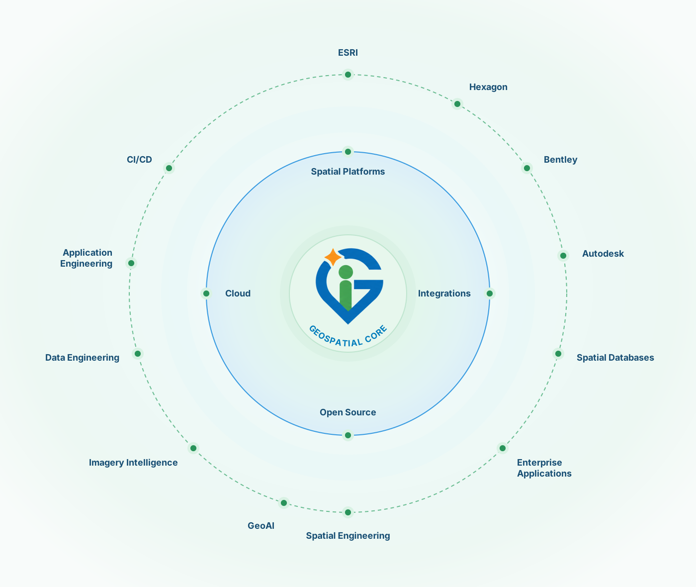
How we deliver
Align users, decisions, workflows, risk, and measurable success.
Prepare the data and build secure, modular solutions around it.
Test quality, performance, usability, security, and spatial integrity.
Deploy, monitor, document, support, and improve with confidence.
Start a conversation